



Farsight Vision unveils new navigation module that allows UGVs to navigate terrain without GPS signal
Drone Industry
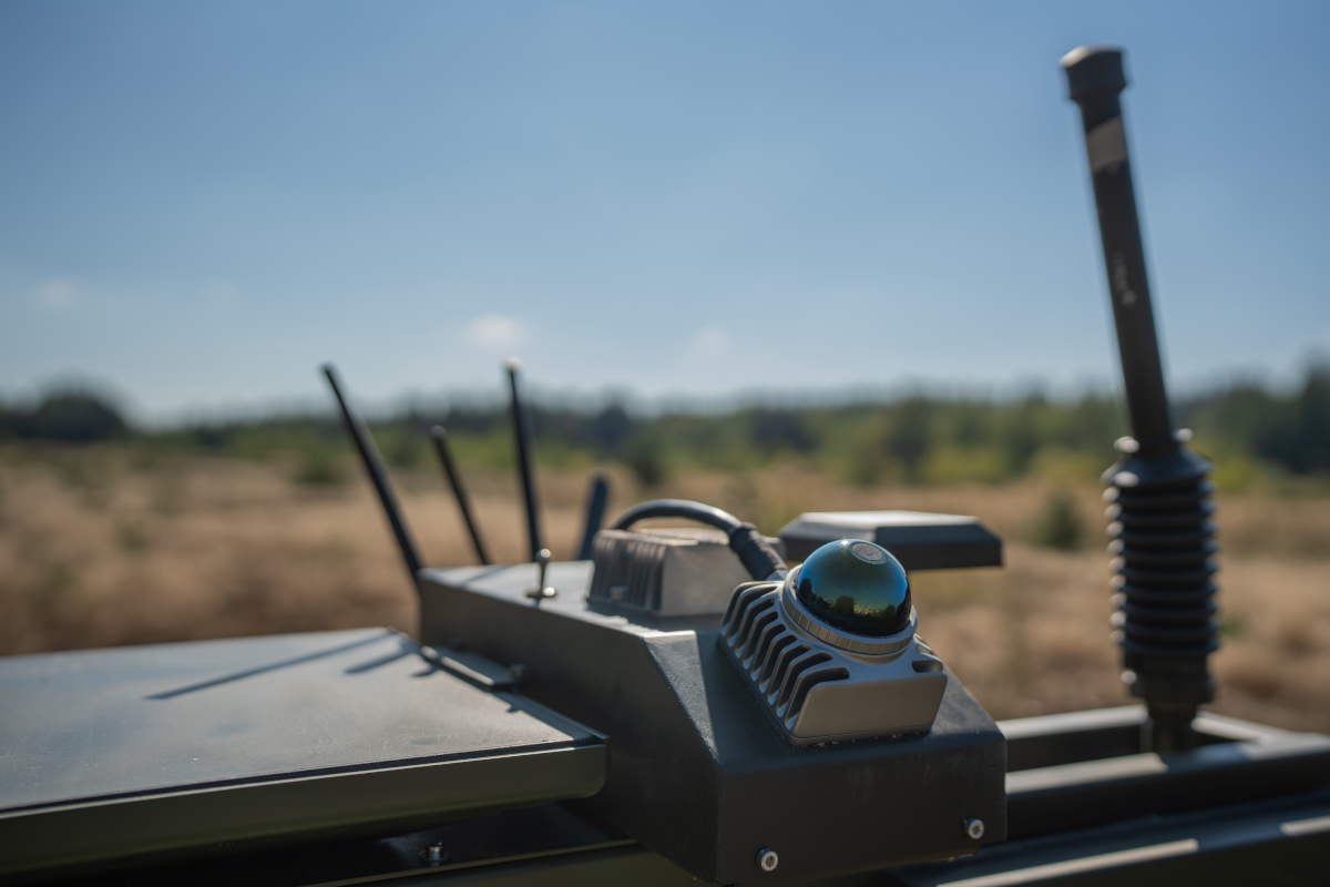
Farsight Vision has unveiled a new navigation module for unmanned ground vehicles (UGVs) that combines a laser sensor with 3D data from the FSV Platform. The system builds a point cloud around the UGV in real time, shows obstacles, pits and threats along the route, and helps the operator maintain spatial awareness when GPS is unavailable.
The company told Censor.NET’s "Drone Industry" project about this.
"The solution is based on the concept of a digital twin of the terrain. Instead of relying solely on satellite maps, the operator receives a live, continuously refined model of the area built on FSV Platform. This turns UGV navigation along a pre-planned route into a process that adapts to actual conditions on the ground in real time," Farsight Vision explained.
The module’s main function is not simply to show the operator an image of the vehicle’s surroundings, but to localise the UGV: to determine and refine its exact position. To do this, the system compares sensor data with a 3D model of the area previously built on FSV Platform.
How it works
- A 3D terrain model is created on FSV Platform, providing a foundation to which sensor data is subsequently added.
- The module on board the UGV builds a point cloud around it as it moves, showing all obstacles and refining the route in real time.
- The operator can control the UGV in the usual way, using a satellite map at the ground station. By connecting the UGV equipped with the navigation module to the FSV App containing a 3D terrain model, the operator can check the route against that model.
- The 3D model is gradually supplemented with point cloud data as the UGV moves, giving the operator an increasingly accurate view of where the vehicle is heading and what is happening around it.
- If the GPS signal is lost and the UGV loses its bearings, the 3D model and point cloud help restore spatial awareness more quickly.
The three-dimensional point cloud gives the operator a spatial understanding of the terrain rather than a flat image. When approaching a slope, the operator can assess its steepness and decide whether the vehicle can negotiate it. Pits, ledges, and other terrain features can be assessed in the same way. Operating the UGV feels more like playing a computer game than working with a monochrome video feed.
Loss of satellite connectivity and difficult terrain are common challenges for UGV operators that can result in the loss of equipment or mission failure. Farsight Vision’s new navigation module reduces this dependence: the operator receives an additional source of spatial data that operates independently of satellite navigation systems and enables missions to be carried out with greater confidence in unfamiliar or difficult terrain.
"Our goal is to eliminate the need to launch a reconnaissance drone solely to accompany a UGV, as this creates unnecessary risk and consumes resources. By the end of the year, Farsight Vision aims to enable the drone to return autonomously to the point where communication was lost or to a designated base over distances of several kilometres, with subsequent scaling to 30–40 km, at the platform’s maximum speed," said Farsight Vision CEO Viktoriia Yaremchuk.


