



Scandal over UN map: Nauseda calls on Guterres to respect Ukraine’s borders
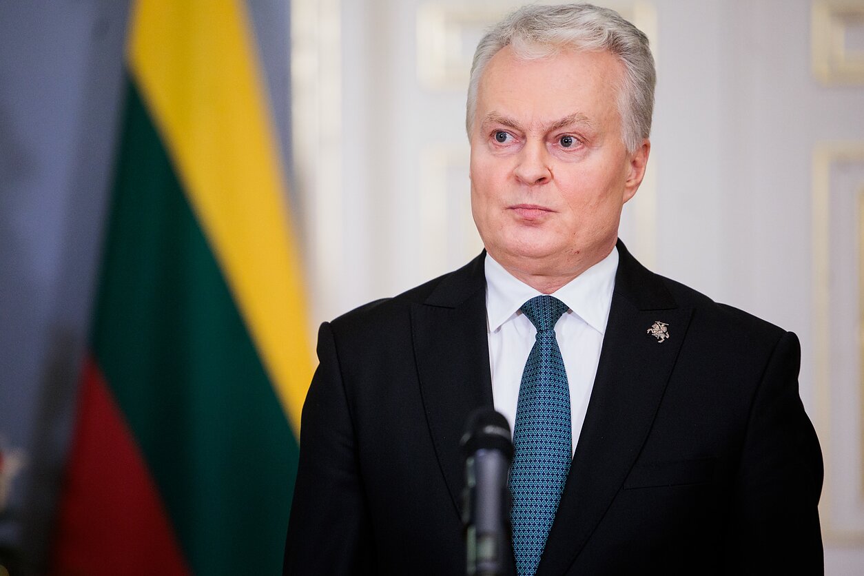
An updated political map of the world published by the United Nations has outraged the President of Lithuania, Gitanas Nausėda. The criticism stems from the fact that Crimea, which is temporarily occupied by Russia, has been shown on the map as separate from the rest of Ukraine.
This is reported by Censor.NET, citing LRT.
The UN must comply with international law
Nausėda voiced Lithuania’s concerns during a meeting between the leaders of the Baltic states and UN Secretary-General António Guterres in New York; the President of Lithuania stated that the maps used by the UN must comply with the norms of international law and respect the sovereignty, territorial integrity and recognised borders of Member States.
Lithuania supports efforts aimed at making the world map more accurate and fairer, Nausėda noted, but emphasised that the UN must consistently adhere to its policy of non-recognition of the Russian Federation’s annexation of Crimea and other Ukrainian territories it occupies.
Naouseda also stated that the Russian Federation remains the main long-term threat to European and transatlantic security, and that this threat extends beyond Ukraine.
The threat posed by the Russian Federation extends beyond Ukraine’s borders
"The threat from the Russian Federation is not limited to Ukraine. Lithuania and other European countries are also facing violations of their borders," – the President’s press office quoted Nausėda as saying.
In September, the UN General Assembly adopted a resolution supporting a new world map designed to reflect the relative sizes of the continents more accurately. The resolution was supported by 164 countries, whilst the United States voted against it and six countries – Ukraine, Estonia, Georgia, Lithuania, Moldova and Serbia – abstained.
On the new map, Africa is depicted as larger, whilst the apparent sizes of North America and Europe have been reduced. It replaces the traditional Mercator projection (in which areas far from the equator appear disproportionately large) with a projection designed to better reflect the actual proportions of land area.
On the new map, Crimea is shown in grey, which differs from the colours used to denote the Russian Federation and Ukraine.


