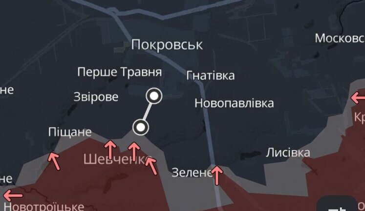
Recent map-related incidents have drawn international attention, highlighting geopolitical tensions surrounding Ukraine's territorial integrity. At a UN event in Geneva, a map erroneously showed Crimea as part of Russia, prompting a swift correction after Ukrainian delegates intervened. Similar issues arose when a Vilnius bookstore sold atlases depicting parts of Ukraine as Russian territory, eliciting official responses. Meanwhile, Google faced scrutiny for maps revealing sensitive Ukrainian military positions, which they clarified as outdated. The depiction of Crimea remains controversial, impacting international relations and media. As cartographic errors emerge, they underline the sensitive nature of maps in reflecting political realities.
Why was a map showing Crimea as part of Russia displayed at a UN event?
During a UN event in Geneva, an incorrect map presentation depicted Crimea as part of Russia. This error was flagged by the Ukrainian delegation, leading to a correction, as the map misrepresented internationally recognized Ukrainian borders.
How did Google respond to showing Ukrainian military facilities on maps?
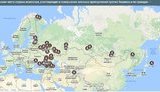
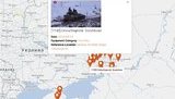
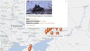
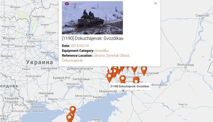
Google responded to concerns about maps displaying Ukrainian military positions by explaining that the images were taken over a year ago. The situation has been rectified to prevent the release of sensitive current military information.
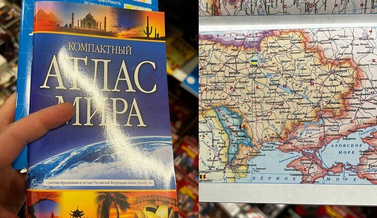
What was the reaction to atlases in Vilnius showing Ukrainian territory as part of Russia?
The sale of atlases in Vilnius depicting Ukrainian territories as part of Russia sparked diplomatic responses from the Ukrainian Embassy, emphasizing the importance of adhering to internationally recognized borders.
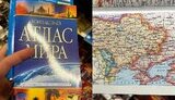
What actions were taken after a map in a Ukrainian textbook omitted Crimea?
The publisher "Litera LTD" faced backlash after a textbook featured a map omitting Crimea. Acknowledging the mistake, they have committed to reprinting corrected versions at their own expense to align with Ukraine's official territories.
What role do maps play in international relations concerning Ukraine?
Maps are critical in international relations, particularly regarding Ukraine, as they can implicitly endorse or challenge the territorial claims of countries. Accurate depictions uphold international law and reflect recognized borders.