Use of UAVs and satellite imagery for surveying mined areas has been approved at level of state standards - Ministry of Defense.
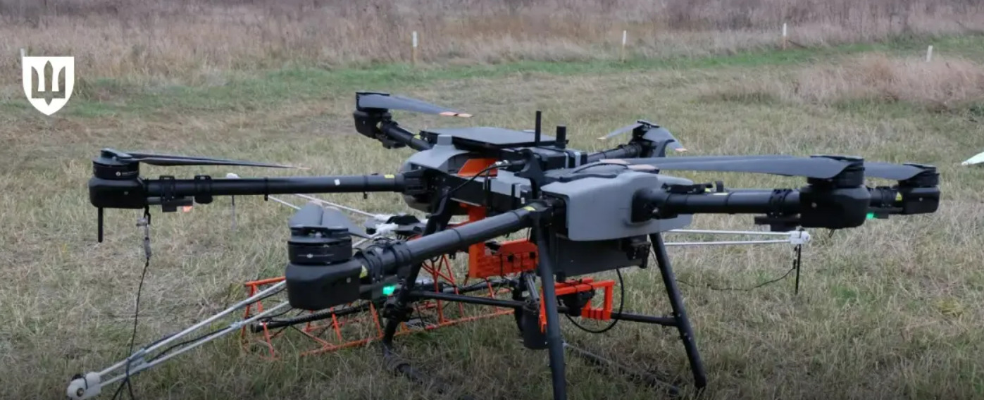
Ukraine has regulated the use of UAVs and the results of satellite image analysis during the inspection of areas contaminated by explosive objects at the state standard level.
This was reported by the Ministry of Defense of Ukraine, Censor.NET reports.
The National Standardization Body adopted the relevant DSTU 8820-5: 2024 "Mine action. Management processes. Part 5. Land release processes".
In general, the document establishes the basic principles for the creation and operation of a system for unblocking (releasing) territories.
Part 5 of the state standard improves the procedure for determining areas as safe after non-technical and technical surveys and clearing them of explosive hazards.
The developers also identified the implementation of the best international and national experience in mine action in Ukraine as one of the document's objectives. In addition, national regulations on the processes of releasing land from the risks of explosive hazards were harmonized with the United Nations Mine Action Standards (IMAS).
Together with representatives of the Technical Committee for Standardization, with the support of the Geneva International Centre for Humanitarian Demining and the OSCE, experts from the Main Department of Mine Action, Civil Protection and Environmental Safety worked on the document.
As a reminder, in 2024, the area of potentially explosive contaminated territories in Ukraine decreased to 139,000 km².