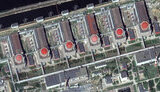
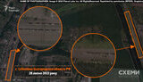
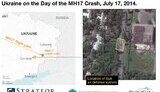
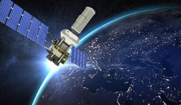
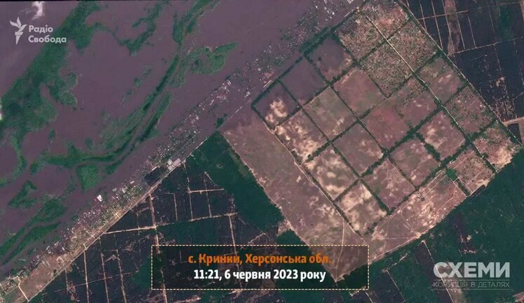
Satellites have become crucial in the ongoing conflict between Ukraine and Russia, offering strategic advantages and challenges to both sides. Ukraine, with support from international partners like Japan and Germany's Rheinmetall, aims to bolster its independence from U.S. intelligence. Meanwhile, Russia's military strategy involves deploying approximately 200 satellites to aid its operations. Additionally, the acquisition of the ICEYE satellite by the Serhii Prytula Foundation marks a significant step for Ukraine, providing consistent radar imagery support. The satellite capabilities extend to detecting changes in landscape and identifying military movements, showcasing the extensive role of space technology in modern warfare.
How are satellites being used in the Ukraine-Russia conflict?
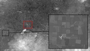
Satellites are used to gather reconnaissance data, monitor enemy troop movements, and provide detailed battlefield imagery. Ukraine has augmented its satellite resources through agreements with companies like ICEYE and Rheinmetall, allowing access to SAR imagery that supports operational planning and enhances battlefield awareness.
What role does the ICEYE satellite play in Ukraine's defense?
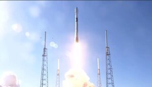
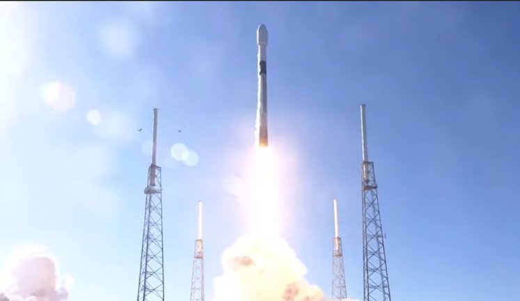
The ICEYE satellite provides critical SAR imagery that is unaffected by weather or daylight. Acquired through Serhii Prytula Foundation's crowdfunding, it offers Ukraine a significant tactical advantage by enabling the constant monitoring of Russian military positions and movements, which aids in the effective deployment of Ukrainian forces.
How is Russia employing satellites for military purposes?
Russia utilizes a network of approximately 200 satellites to enhance its military operations in Ukraine. These satellites are instrumental in intelligence gathering, tracking enemy movements, and potentially directing missile strikes using up-to-date satellite imagery acquired through various means, including international purchases.
What are the implications of restricting satellite imagery over Ukraine?
Restricting satellite imagery is a defensive strategy by Ukraine to limit Russia's reconnaissance capabilities. By coordinating with major satellite companies, Ukraine aims to obstruct Russia’s ability to acquire precise intelligence, thus reducing the effectiveness of its military strikes and enhancing Ukraine’s operational security.
How have international partnerships influenced Ukraine's satellite capabilities?
Ukraine's satellite capabilities have significantly improved through international partnerships. Collaborations with Japanese and European entities provide Ukraine with advanced intelligence resources. Access to the EU satellite center, alongside the cooperation with Rheinmetall, enhances Ukraine's strategic independence and ability to counter Russian advances with real-time data.